
Pleased to announce that I am in the process of re-branding as a not-for-profit geospatial service. Combining cutting edge mapping and spatial analysis with the birds eye view of UAV drone imagery… the vision is to be able to provide an all inclusive geospatial service for under-privileged communities such as Humboldt, Mendocino and Trinity Counties.
Mission
Eulogen is dedicated to delivering innovative spatial science services that empower community members and organizations. We connect the community to powerful technological tools such as Geographic Information Systems (GIS) and drone imagery that can be used for monitoring landscape conditions, providing information to enhance biodiversity, supporting emergency rescue efforts, and strengthening community resilience to wildfire. We also provide support to community members seeking to advance their skills in using drones and GIS for purposes covered by our Mission Statement through capacity building and skill-sharing.
UAV Drone Imagery
Coming Soon….
Drone imagery can be used for a variety of applications including: aerial photography and videography, orthophotomosaics, 2D and 3D mapping, surveying land and infrastructure, inspecting buildings and assets, mapping terrain, monitoring environmental changes, and documenting construction progress.
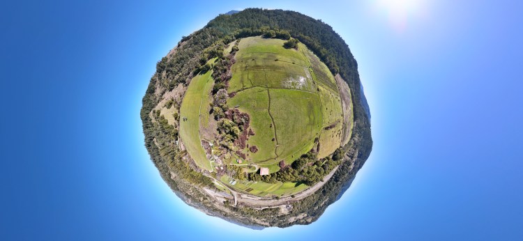
Southern Humboldt Community Park globe pano by Noel Soucy
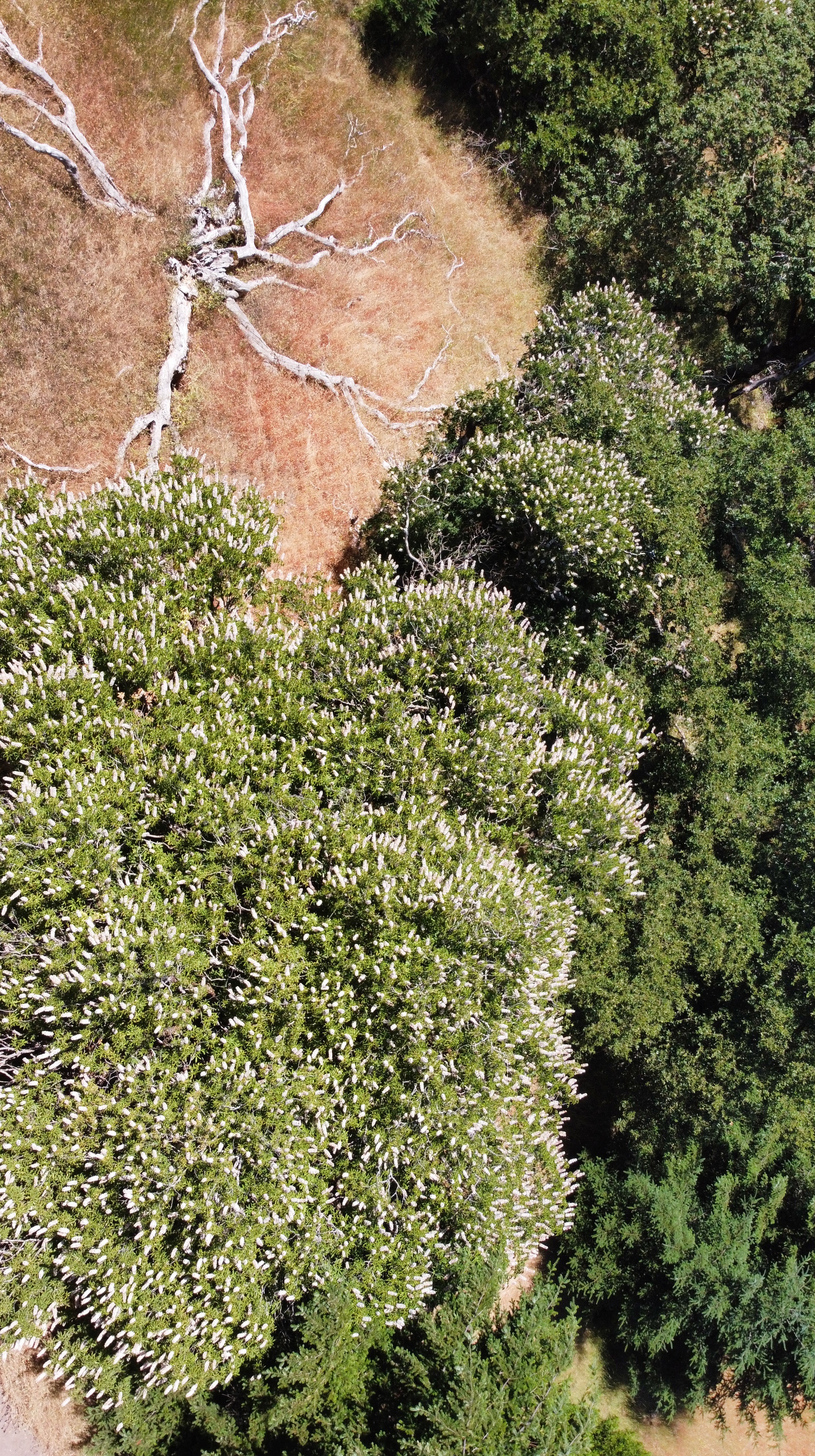
flowering buckeye by Noel Soucy
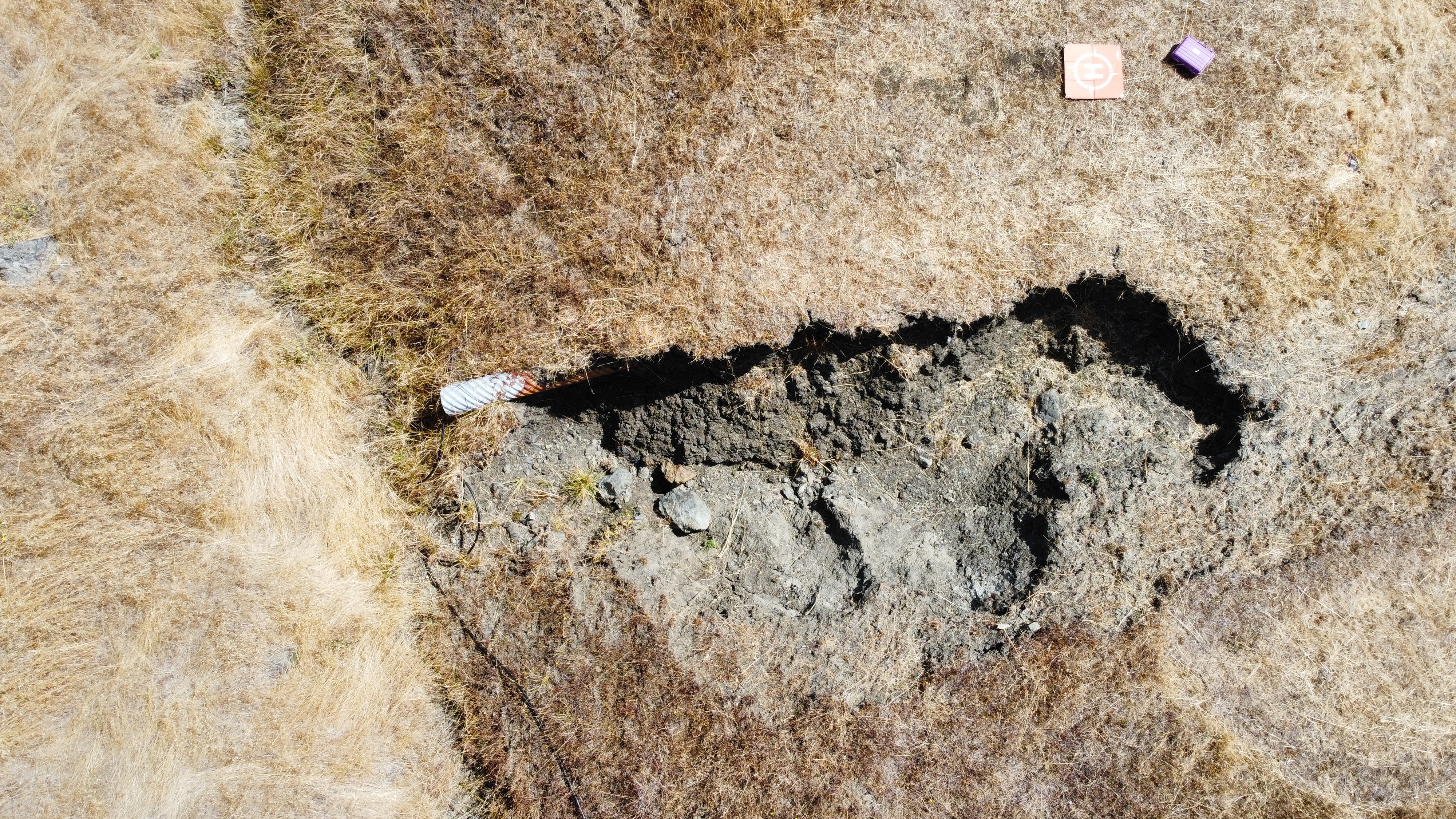
culvert blowout by Noel Soucy
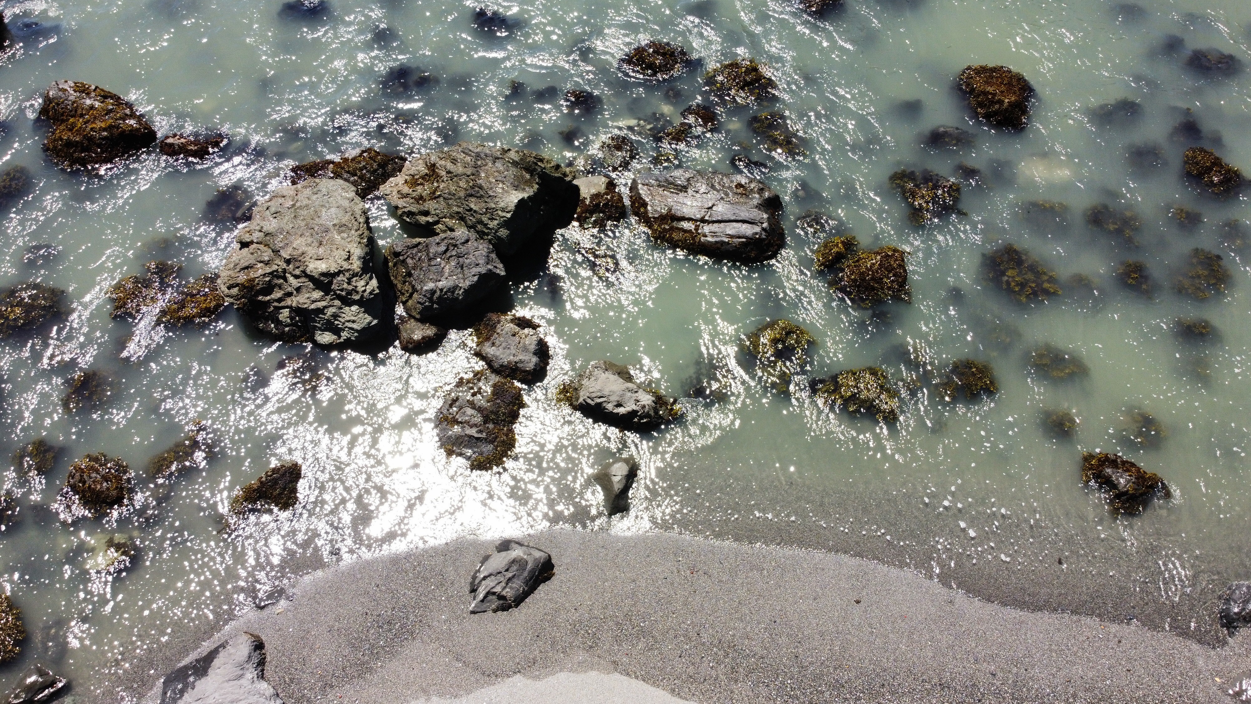
Baker’s Beach tidepools by Noel Soucy
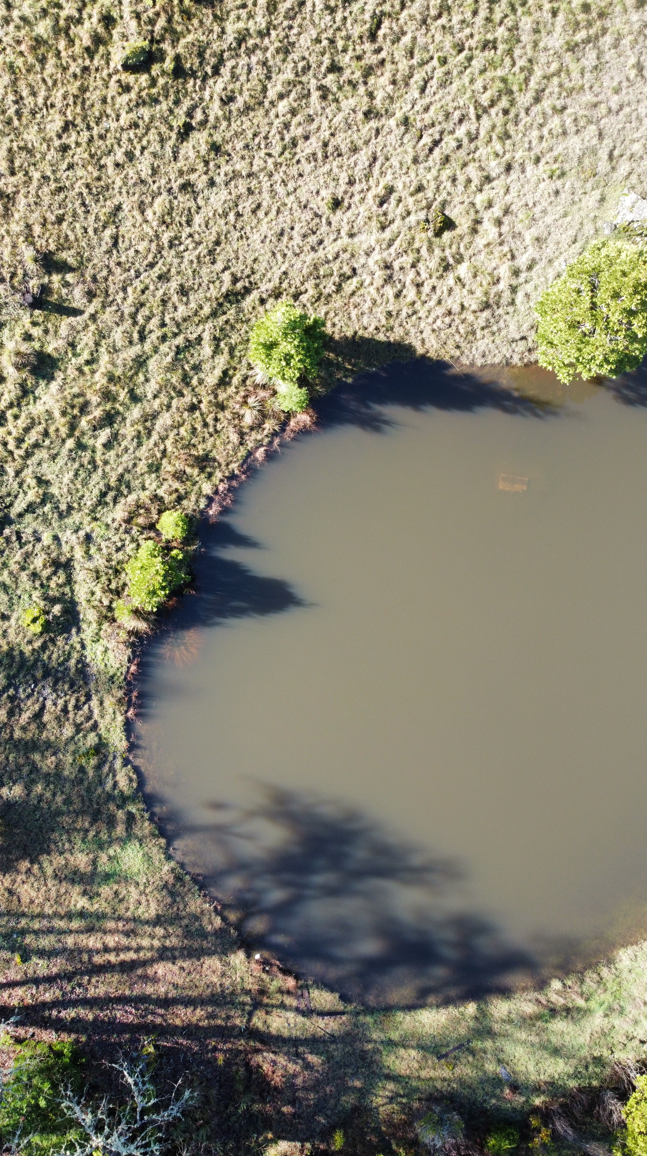
sohum pond by Noel Soucy
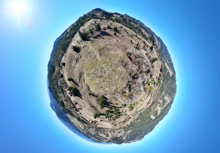
globe pano by Noel Soucy


