Fall 2024

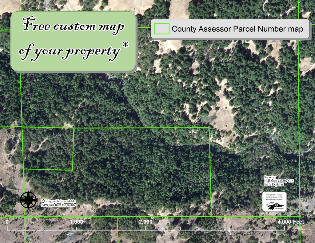
A lot of new things coming along. Spent the last several years making maps for Eel River Recovery Project, including several side projects like Town Creek Restoration Project in Covelo Ca, and the Tenmile Forest Health Project in Laytonville, Ca. Been perfecting custom LiDAR maps, and hope to be offering UAV imagery soon! Click on the image below for more information…

UAV Imagery of buckeye trees in Southern Humboldt County, Ca ~ by Noel Soucy

Summer 2022

Would you like a custom map of your garden? Do you need to know the square footage of your garden beds? Do you want to build a fence but you aren’t sure how much fencing you will need? Would you like to have a geographically accurate representation of your garden that you can use as a template from year to year?

This summer at Soucy Biologique, we are offering custom maps of your garden. Also new this summer- LiDAR based digital elevation models! If you have any questions, please contact noel@soucybiologique.com.

Spring 2022

Offering free customs map images (.jpeg) of your project or property using publicly available data from your county. Please email noel@soucybiologique for more information and to inquire about your free map.

Geo-referenced maps and Google Earth maps of your project or parcel area are also available.

Need to know the acreage of your field or how much fencing you will need to go around it? We can tell you that, too.