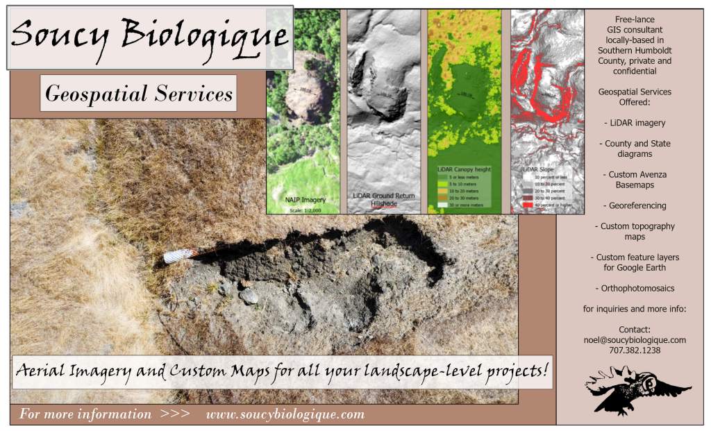
Make your own custom map request here.
Learn how to collect data to add to your custom map here.
Enter the map maker’s special stash of custom Avenza base maps and layers…

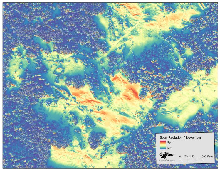
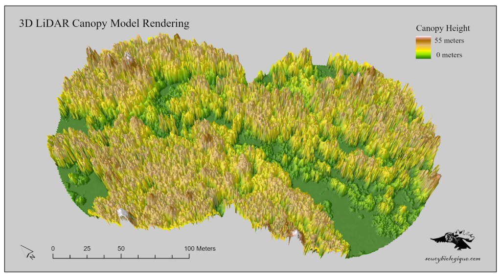
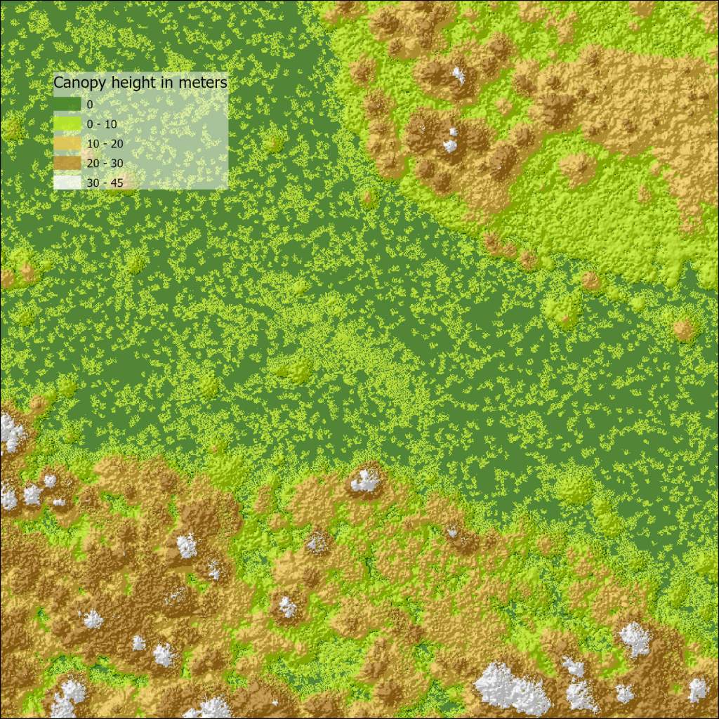
Solar radiation / Insolation model using LiDAR canopy model at .5 m resolution
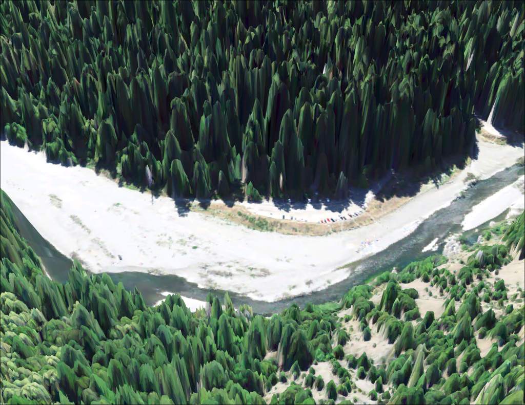
Custom maps:
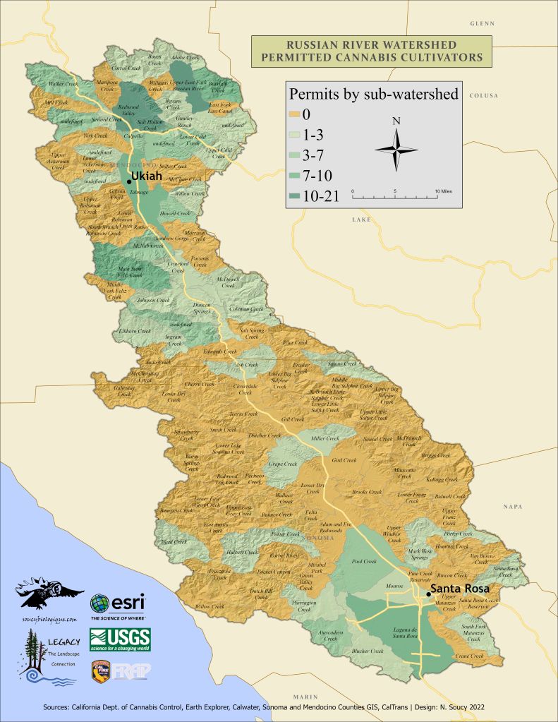
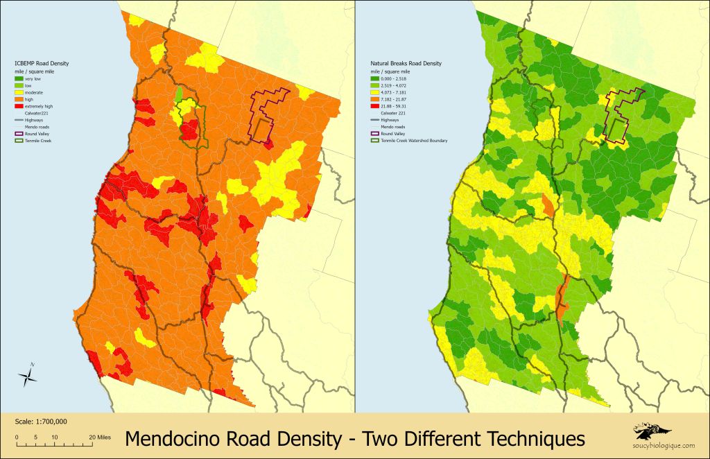
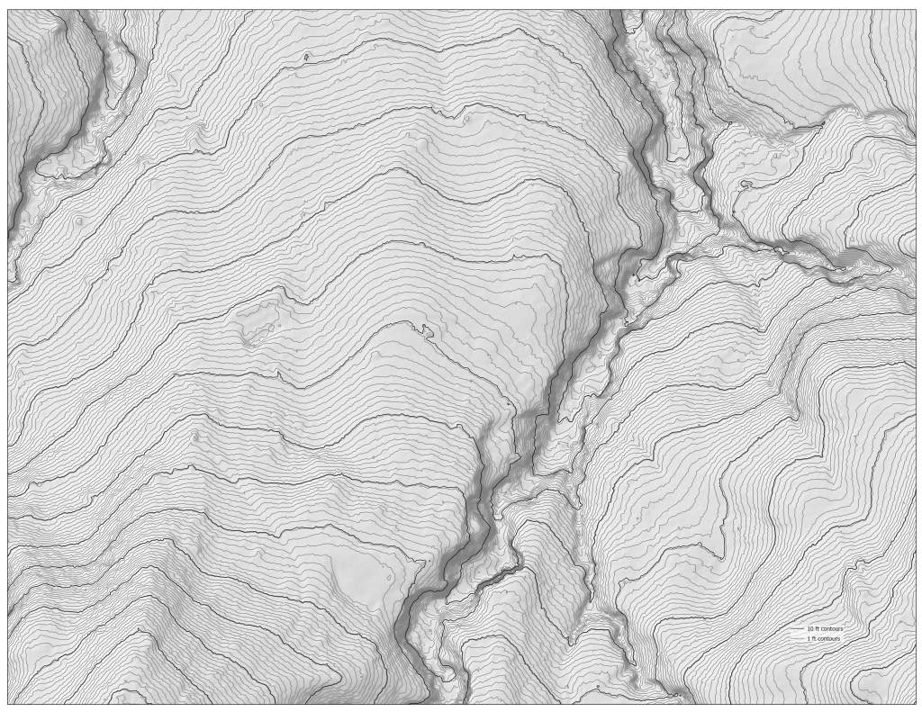
Choropleth maps can show the same data in very different ways…